
How Powerful Thunderstorms Push Water High into the Atmosphere
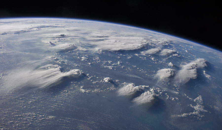
A picture taken from the International Space Stations shows late afternoon sunlight casting long shadows from thunderhead anvils down onto southern Borneo.
(Inside Science) -- Intense thunderstorms may help inject water vapor high into the sky in a way similar to how water from a faucet rebounds and flows on the surface of a sink, new findings that could help scientists more accurately forecast tornadoes and global warming.
When strong thunderstorms arise, most of them rapidly grow upwards from the troposphere, the atmospheric layer closest to Earth's surface. When they hit the troposphere's upper limits, known as the tropopause, the storm tops usually flatten, giving them their distinctive anvil-like shape.
However, the most powerful thunderstorms can generate intense updrafts that can punch past the tropopause into the overlying stratosphere. This can create cirrus plumes of ice and water vapor several kilometers above the anvils, which then spread downwind.
These plumes often herald severe tornadoes and hailstorms on the ground. They may also play a major role in driving water vapor into the normally dry stratosphere, where it may serve as a potent greenhouse gas and destroy ozone. However, much remained a mystery about how these plumes work, including potential climate effects.
To shed light on the physics of these plumes, scientists generated computer simulations of large atmospheric eddies and compared them with airborne radio observations of an intense hailstorm. They found that storm clouds that rise into the stratosphere act like physical barriers that deflect high-altitude wind streams. This can generate a so-called hydraulic jump, similar to one "you can recreate in your kitchen sink simply by turning on the faucet," said study lead author Morgan O'Neill, an atmospheric scientist at Stanford University.
When water hits a sink's surface, the inside of the resulting circle of water is thin and flows quickly, but as this circle spreads outward, it abruptly shifts to become slower, deeper and turbulent, a transition point known as a hydraulic jump. Similarly the air in the tropopause above powerful thunderstorms “is moving super fast, over 100 meters per second in our simulations, until it becomes unstable, and experiences a similar chaotic turbulent transition to slower flow -- the hydraulic jump," O'Neill explained.
The researchers estimated this hydraulic jump, which happens at the tropopause downstream of the storm, can inject water vapor deep into the stratosphere at a rate of more than seven tons per second. The plumes are visible manifestations of the hydraulic jump, they noted.
These new findings may help explain why these plumes lead to greater risk of tornadoes and severe hail, which "gets us closer to more accurate forecasts and warnings," O'Neill said. In addition, the findings suggest more water may reach the upper atmosphere than previously thought, with potential long-term implications for global warming, she added.
The scientists detailed their findings in the Sept. 10 issue of the journal Science.