
How Much Sunshine Can You Get?

(Inside Science) -- Urban developers planning solar installations have many databases and tools available to calculate the sunniest parts of a city. Most use direct measurements of rooftops, but there also exists a relatively simple correlation between an urban area's solar potential and its road network, according to a recent study.
The researcher drew inspiration from the way the metabolic rate of living organisms scales with the size of their vascular network. The model could act as a starting point for future versions that also include buildings' vertical surfaces, which is essential for the implementation of next-gen solar technologies such as transparent solar cells in windows.
The cost of solar energy has greatly decreased during the last few years, to the point that it is almost at price parity with fossil fuels. The performance potential of a solar cell depends not just on its cost and efficiency, but also on factors such as local weather, landscape and the amount of usable surface area. Before investing in solar panels, urban planners need reliable data for the solar power potential of an area or a region.
Beirut's dancing shadows
Unlike other sources of power production -- from wind farms to dams to coal-fired power plants -- the infrastructure needed for solar power production can be built within the city. Since each building can generate energy locally on its rooftop, there is no need to build miles upon miles of high voltage power lines, or transformer substations. To meet extra power demands, buildings might be able to use extra energy stored during sunny days, borrow from neighbors who also have solar panels, or tap the existing grid.
Therefore, it is important to know how much solar power specific urban areas can produce. As part of a project to explore sustainability in Mediterranean cities, a team of Lebanese researchers recreated the Beirut cityscape with a computer model that calculates the amount of sunlight every building in the city receives over an average day. A key part of constructing the model was finding building measurements.
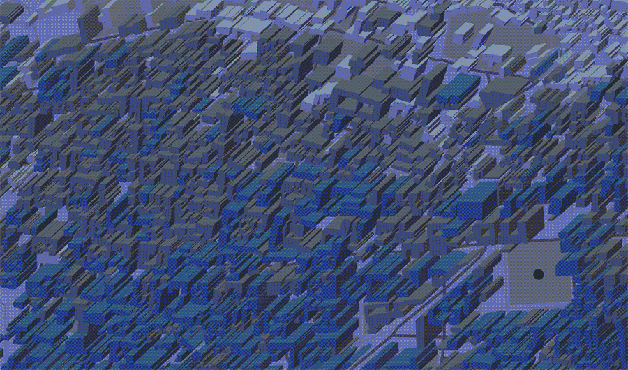
A time-lapse computer simulation for building shadows in Beirut, Lebanon.
Courtesy of Sara Najem and Ghaleb Faour, who helped create the simulation.
“We can now calculate the rooftop area of buildings in cities with satellite data,” said Daniel Kammen, the director of the Renewable and Appropriate Energy Laboratory at the University of California, Berkeley who was not involved in the study. “These data are now globally available."
There are also other resources available for anyone who is interested in solar planning, such as the open source simulation system UrbanSim. The U.S. Department of Energy provides a number of free tools, including a national solar potential map and more.
Seeing the city for the streets
During the study, Sara Najem, a physicist at the National Council for Scientific Research in Beirut, Lebanon, noticed a simple relationship that emerges between the solar potential of an area and the length of streets inside it.
"In biological systems like a human body, there [is a] vascular system which pumps blood and energy and is responsible for the metabolic rate that scales with size, so I thought maybe this idea could be applied for streets in cities," Najem said. "Cities are often described as living things, so I thought, why not study it like one?" Her paper describing the relationship between solar potential and street length was published in the journal Physical Review E.
After sampling dozens of areas throughout Beirut, with sizes ranging from single city blocks up to the entire city, Najem found that the total length of streets in an area is highly proportional to its solar potential. This means that a rough estimate of solar potential of an area can be done by just looking at a street map.
However, according to Kammen, the rooftop solar potentials for urban areas can generally be calculated using satellite data, which is already globally available. Since Najem's model doesn't explicitly add in any new factors that aren't already included in other existing models, the immediate practical implication of Najem's model is unclear, he said.
"I could see combining this with work that also takes the vertical topology of cities into account," Kammen said. "There has been a great deal of recent work about solar technologies that are thin film or even transparent. All that can be used on the sides of buildings, which would dramatically increase the available areas, in which case the modeling of building heights and the shading of building to building will become critical."